Learn More about Mesabi Trail and the trails:
Visit Mesabi Trail Stay on the Iron RangeEveleth, Minnesota 55734
bdahl@rrauth.com
877-637-2241
The Mesabi Trail stretches 165 miles from the Mississippi River in Grand Rapids, MN, to the gateway of the Boundary Waters Canoe Area (BWCA) in Ely. In between, you’ll cross the reclaimed minelands of the Iron Range and pass through 28 communities.
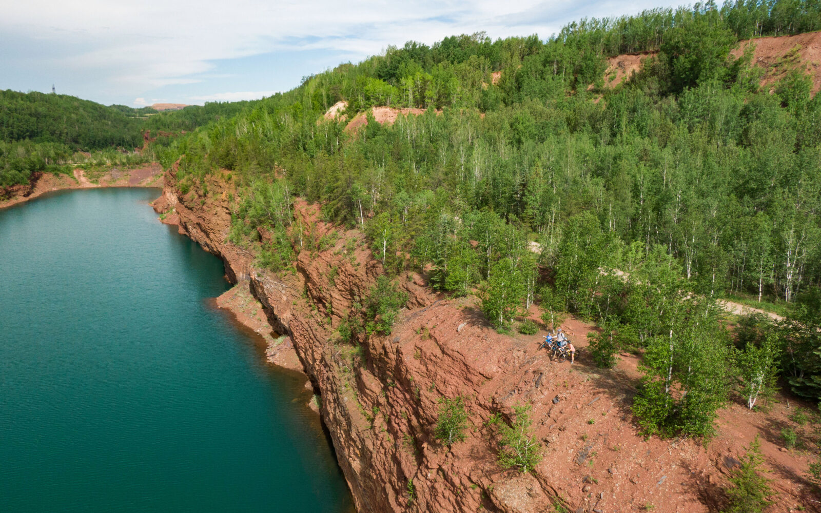
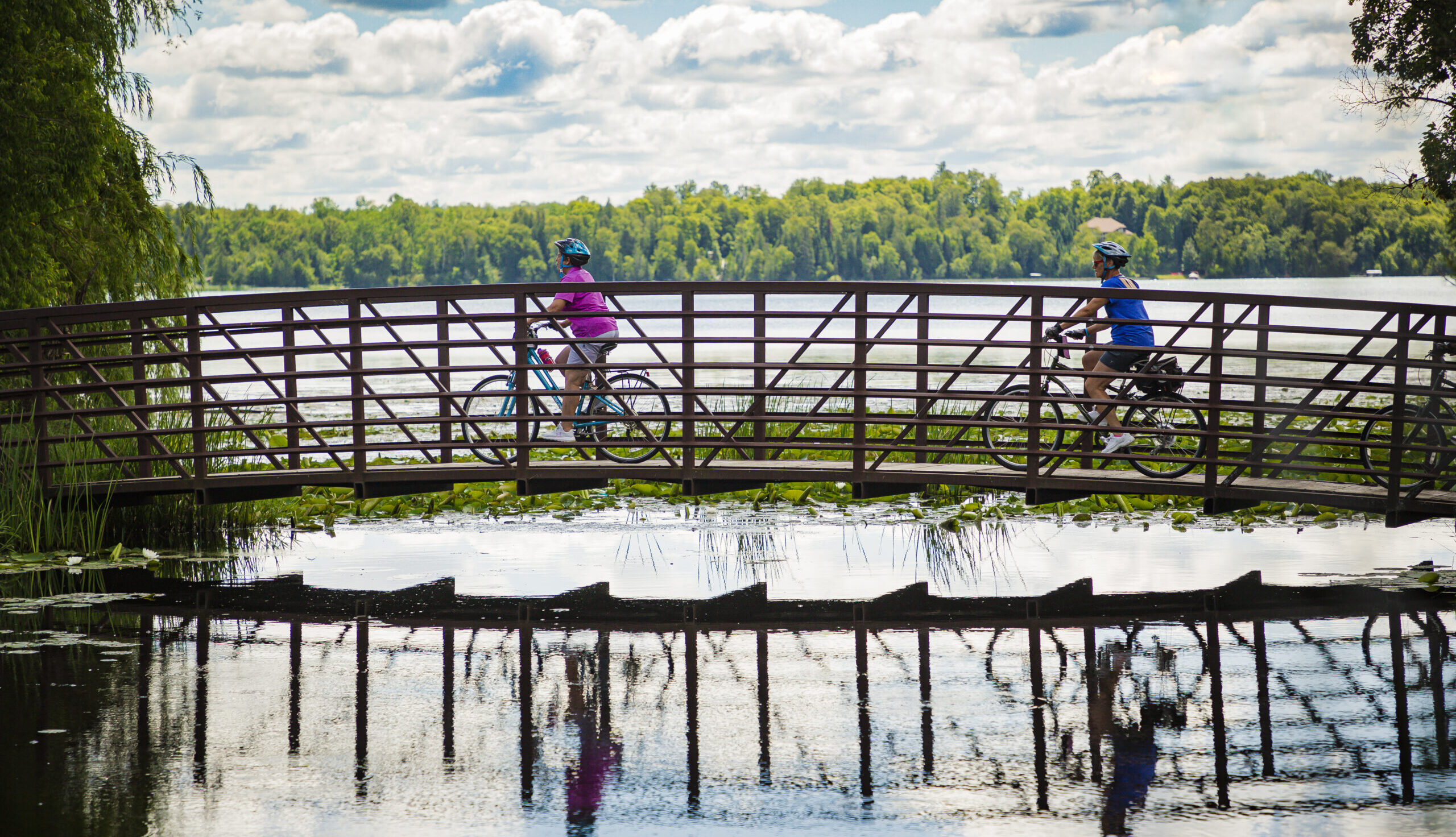
The Mesabi Trail consists of four segments—Mississippi (Grand Rapids–Nashwauk), Mesabi (Nashwauk–Gilbert), Laurentian (Gilbert–Tower), and Vermilion (Tower–Ely). Each segment offers different natural and manmade landscapes. You’ll experience views of glacial lakes, active mines, hardwood and boreal forests, plus wetlands and rock cuts.
The Mesabi Trail is not a typical “rail-to-trail.” It is neither straight nor flat. There are curves and switchbacks. The elevation change is approximately 3,300 feet over the full distance. Some hills have up to 8% grade with sustained climbs and seriously fun downhills.
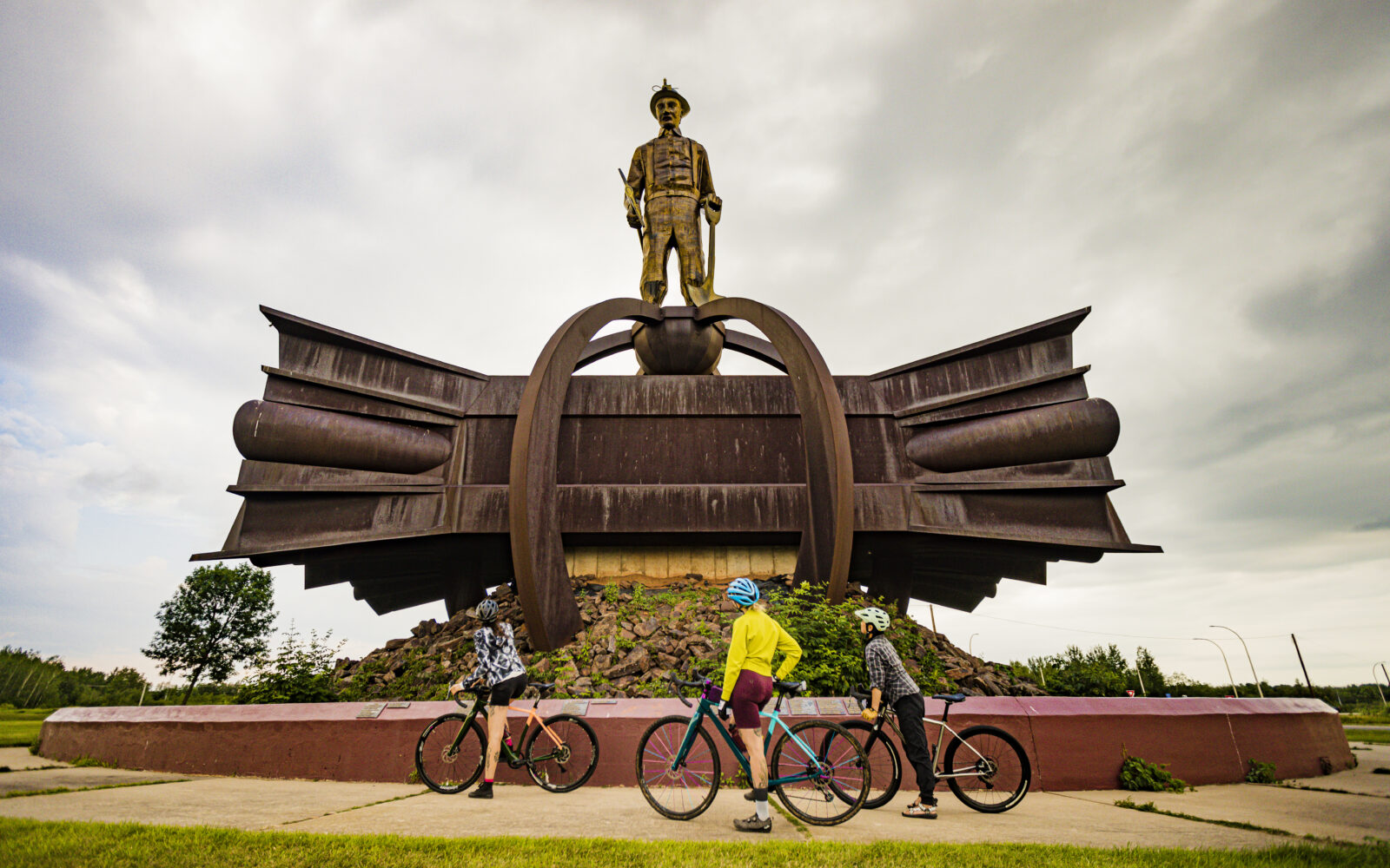
Know that you can engage a shuttle service to help get you back to your car, and there are plenty of places to camp, stay, eat and rest along the way. And, there’s a plethora of historic sites, museums and overlooks along the way. This is a great ride for groups, with secure bike storage at most hotels. Order a free map and start planning your trip today.


Mesabi Trail to Cuyuna
122 miles
Mesabi Trail to Giants Ridge
16 miles
Mesabi Trail to Hidden Valley
58 miles
Mesabi Trail to Redhead
24 miles
Mesabi Trail to Tioga
62 miles
Mesabi Trail, 111 Station 44 Rd, Eveleth, MN 55734, USA